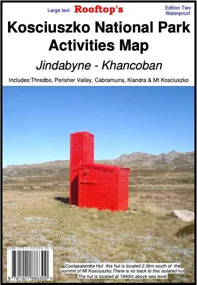
The Rooftop's National Park Forest Activities Map is a detailed map covering areas from Thredbo to Cabramurra at a 1:50 000 scale. The map is double-sided for even more range and waterproof for use out in the field.
Key Features
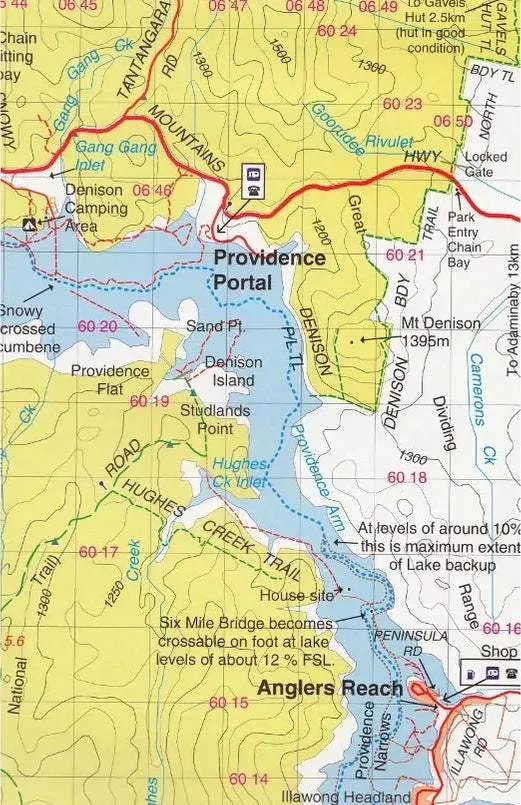
- Detailed 4WD tracks
- National parks
- Camping areas
- Field surveyed roads & tracks
- Waterproof paper
Coverage includes: Thredbo, Charlottes Pass, Perisher Valley, Tom Groggin, Guthega, Geehi, Cabramurra, Kiandra, Selwyn Snowfields, Jagungal Wilderness, Khancoban, Jindabyne and more!


 Topographic Folded Map by Spatial Vision")


