- Printed on Polypropylene (plastic)
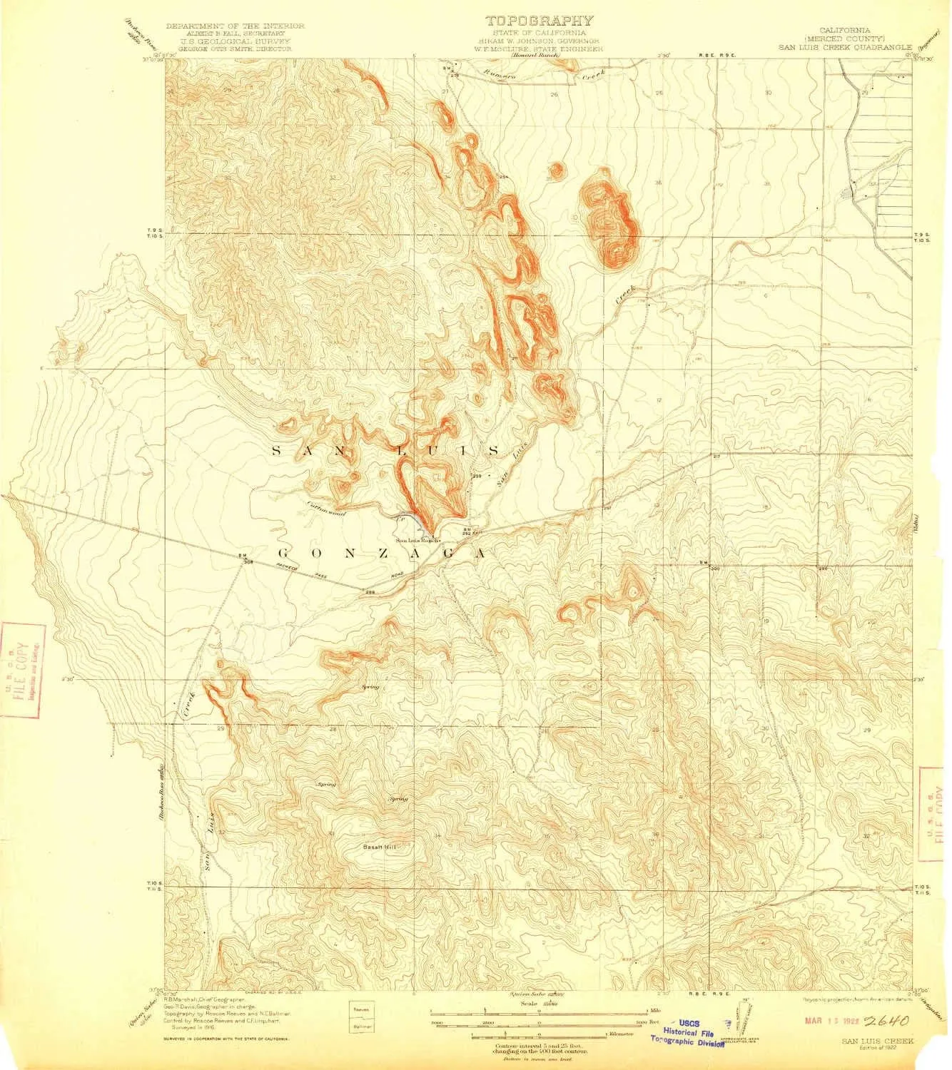
- USGS topographic map of San Luis Creek, CA, at 1:31680 scale. Heavier material. Waterproof. Tear-resistant. Foldable. Perfect for the outdoors.
- Cities, towns, villages: Santa Nella Village
- Islands: Consult topo map preview for visible islands.
- Parks and forests: Lower Cottonwood Creek Wildlife Area,Basalt Day Use Area,O'Neill Forebay Wildlife Area,San Luis Reservoir State Recreation Area


