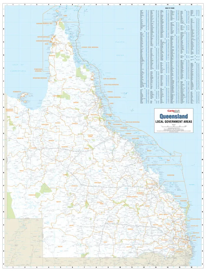
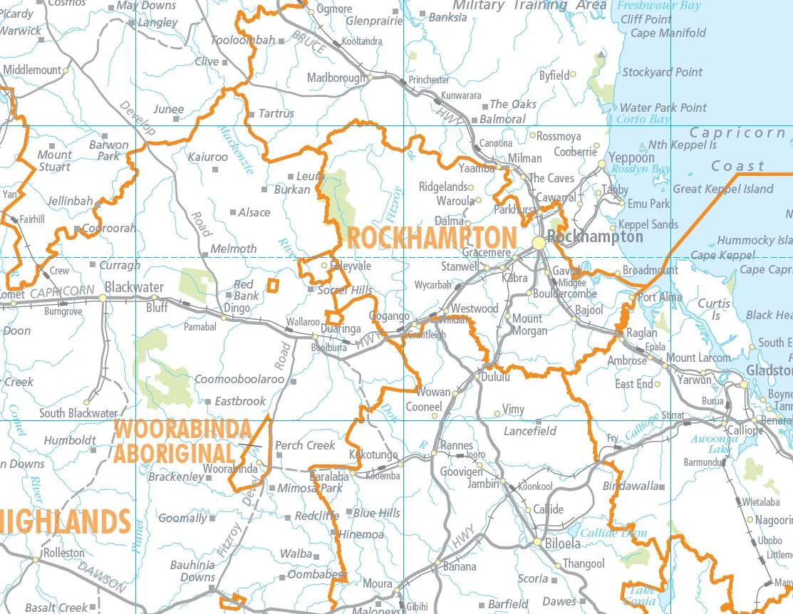
The Queensland Local Government Areas map shows the most up-to-date local government boundaries. This unique map clearly distinguishes the council areas for the state of Queensland, it is very clearly labelled and comes with with an easy-to-read town index. Other map details include: main roads, townships and land features.
The high quality laminate in which the map is encapsulated allows you to draw on it in whiteboard marker or apply map dots to locations of interest without permanently marking the map. The lamination also makes the map very durable and protects against tears and stains.
Size: 1000 mm (w) x 1314 mm (h)
Note: This is a print on demand map, please allow 10 working days for delivery.

 FRĒ Series Waterproof Case with MagSafe (Designed by LifeProof) - Black, Waterproof, 60% Recycled Plastic, Sleek and Stylish")


")


