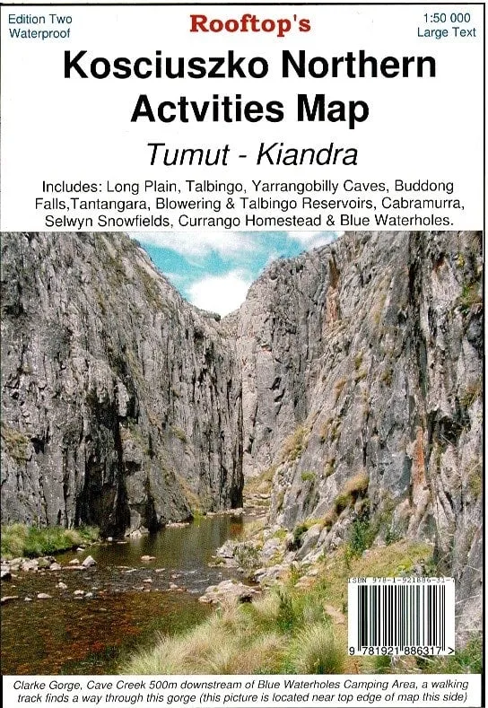
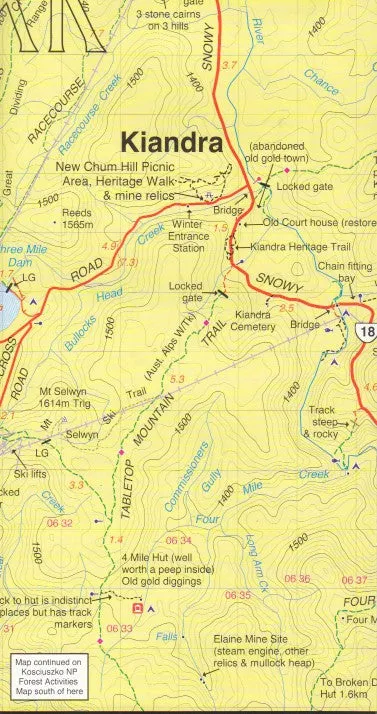


The Kosciuszko Northern Activities Map by Rooftop Maps covers from Kiandra to Tumut and includes Long Plain, Talbingo, Yarrangobilly Caves, Buddong Falls, Tantangara, Blowering & Talbingo Reservoirs, Cabramurra, Selwyn Snowfields, Currango Homestead & Blue Waterholes.
The map shows roads, tracks, walking tracks, watercourses, bush huts and contours. The entire map was thoroughly field-checked from 2008 to 2010.
We can also laminate this map, allowing you to draw on it in whiteboard marker or apply our map dots to locations of interest without permanently marking the map. The lamination also makes the map very durable and protects against tears and stains.
Scale: 1:50,000
Size: 750 mm x 1050mm


")


