Lightweight Waterproof Backpacks&Hiking Boots
Lightweight Waterproof Backpacks&Hiking Boots Lightweight Waterproof Backpacks&Hiking Boots
Home Trail Accessories Waterproof Map Case
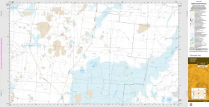
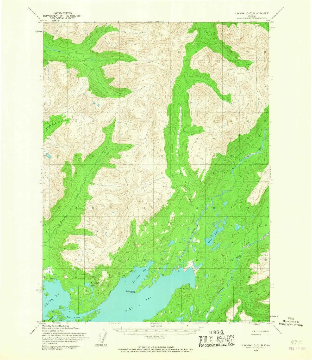
Iliamna D 3 AK topo map, 1:63360 Scale, 15 X 15 Minute, Historical, 1954, Updated 1967, 20.8 x 18 in

Iliamna D 3 AK topo map, 1:63360 Scale, 15 X 15 Minute, Historical, 1954, Updated 1967, 20.8 x 18 in

$ 52.00

$ 74.00

Save: $

Color:
  • Polypropylene
  • Regular Paper
  • Tyvek
Unavailable
Please select combo product attributes
The combo subtotal is $,SAVE$

Product Details

  • Printed on Polypropylene (plastic)
  • USGS topographic map of Iliamna D 3, AK, at 1:63360 scale. Heavier material. Waterproof. Tear-resistant. Foldable. Perfect for the outdoors.
  • Cities, towns, villages: Pile Bay Village,Pedro Bay
  • Islands: Consult topo map preview for visible islands.
  • Parks and forests: National Parks, National Forests, etc. Please preview map image for specifics.


USGS topographic map of Iliamna D 3, Alaska, dated 1954, updated 1967.

Includes geographic coordinates (latitude and longitude), lines of elevation, bodies of water, roads, and more. This topo quad is suitable for recreational, outdoor uses, office applications, or wall map framing.

Printed on-demand by YellowMaps on the print material of your choice.

Shipping rolled from Minneapolis, MN, United States.

Product Number: USGS-5667372
Map Size: 20.8 inches high x 18 inches wide
Map Scale: 1:63360
Map Type: POD USGS Topographic Map
Map Series: HTMC
Map Version: Historical
Cell ID: 55714
Scan ID: 356285
Imprint Year: 1967
Woodland Tint: Yes
Aerial Photo Year: 1957
Datum: NAD27
Map Projection: Universal Transverse Mercator
Map published by United States Geological Survey
Map Language: English
Scanner Resolution: 600 dpi
Map Cell Name: Iliamna D-3
Grid size: 15 X 15 Minute
Date on map: 1954
Geographical region: Alaska, United States
Northern map edge Latitude: 60°
Southern map edge Latitude: 59.75°
Western map edge Longitude: -154.125°
Eastern map edge Longitude: -153.75°

Surrounding map sheets (copy & paste the Product No. in the search bar):
North: USGS-5668704,USGS-5668706
East: USGS-5667366,USGS-5667364,USGS-5667368
South: USGS-5667332,USGS-5667334
West: USGS-5667376,USGS-5667374

You May Also Like

SPORTEX SAV Men's AR4163 Reading Glasses - Flexible, Durable, Lightweight, High-Performance Readers For Men

$ 19.00

Save: $

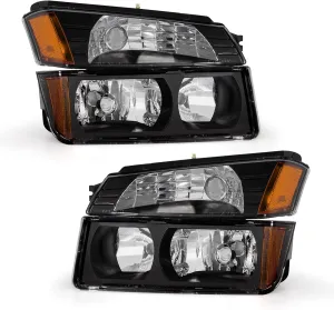
Headlight Assembly for 2002 2003 2004 2005 2006 Chevy Avalanche 1500 2500 Fits Body Cladding Models with Black Housing Amber Reflector Passenger and Driver Side

$ 51.00

$ 85.00

Save: $

Tarwong 7730-S Topographic Map 1:50k

$ 19.95

Save: $

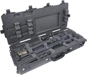
Case Club 2 Rifle (or Shotgun) Waterproof Case fits Multiple Guns & 3 Pistols

$ 99.00

$ 280.00

Save: $

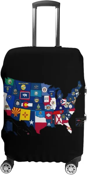
Flag Map of U.S. States and Territories Luggage Case Cover Travel Protector Washable Suitcase Covers Fit 19-32 Inch Luggage

$ 21.00

$ 26.00

Save: $

Montbell Roll-Up Map Case S

$ 24.99

Save: $

4-Pocket Card Binder Compatible With PTCG Cards,TCG Cards Holder,Trading Card Games Collection Binder Case Book Fits 400 Cards With 50 Removable Sleeves

$ 24.00

$ 30.00

Save: $

AKA Nylon Lightweight Drawstring Backpack

$ 8.50

Save: $

Monkey Toddler Backpack

$ 1199.00

Save: $

Cabot VT topo map, 1:24000 Scale, 7.5 X 7.5 Minute, Historical, 1986, Updated 1987, 26.7 x 22 in

$ 45.00

$ 64.00

Save: $

Cart
Lightweight Waterproof Backpacks&Hiking Boots
Your cart is currently empty.