Lightweight Waterproof Backpacks&Hiking Boots
Lightweight Waterproof Backpacks&Hiking Boots Lightweight Waterproof Backpacks&Hiking Boots
Home Trail Accessories Waterproof Map Case
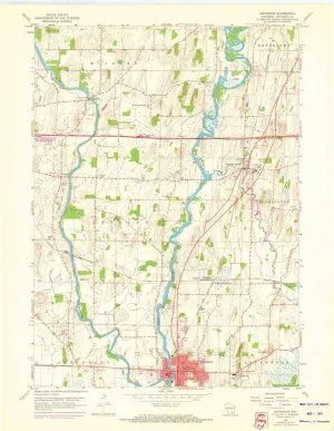
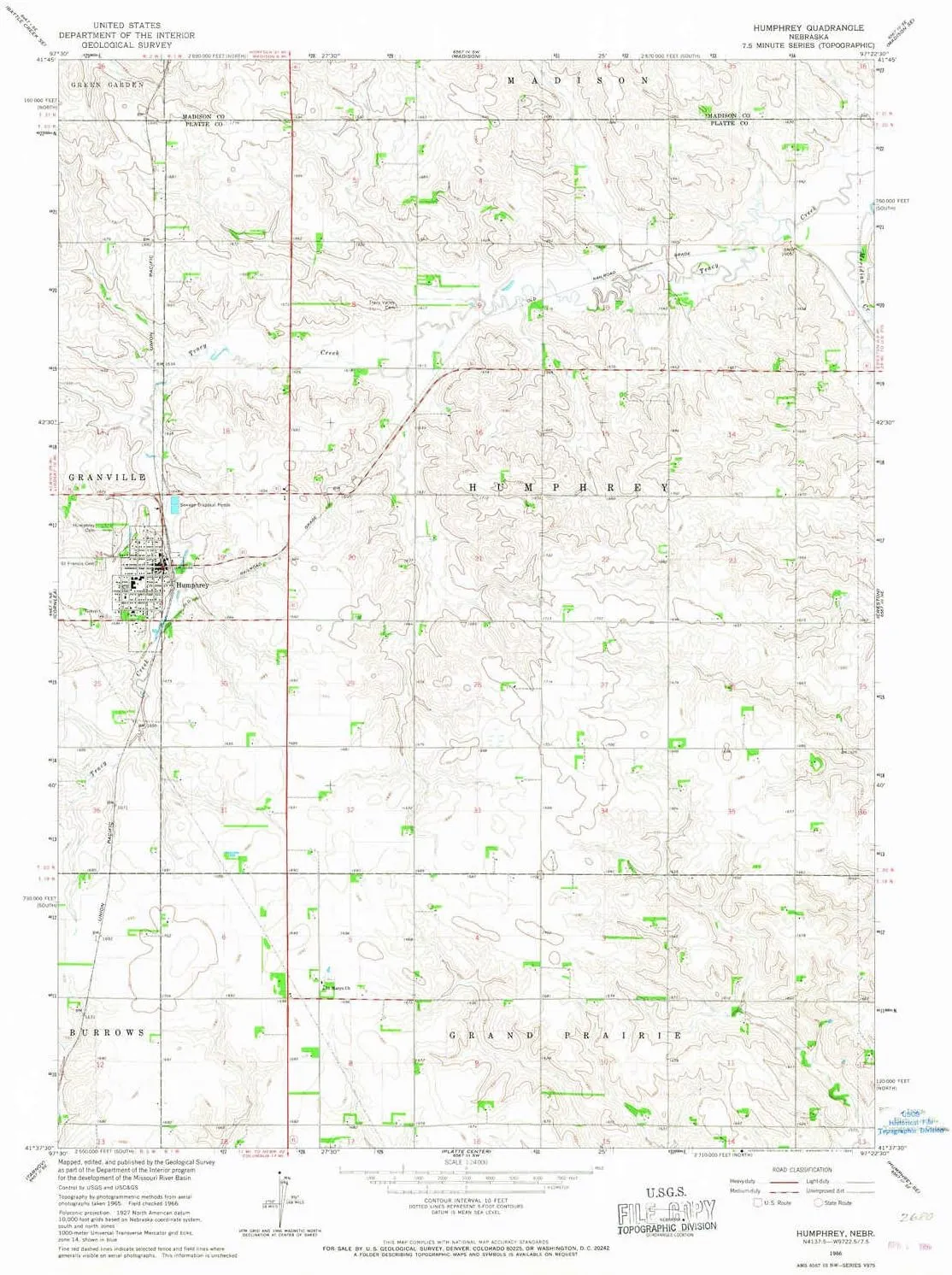
Humphrey NE topo map, 1:24000 Scale, 7.5 X 7.5 Minute, Historical, 1966, Updated 1968, 26.8 x 22 in

Humphrey NE topo map, 1:24000 Scale, 7.5 X 7.5 Minute, Historical, 1966, Updated 1968, 26.8 x 22 in

$ 45.00

$ 64.00

Save: $

Color:
  • Polypropylene
  • Regular Paper
  • Tyvek
Unavailable
Please select combo product attributes
The combo subtotal is $,SAVE$

Product Details

  • Printed on Polypropylene (plastic)
  • USGS topographic map of Humphrey, NE, at 1:24000 scale. Heavier material. Waterproof. Tear-resistant. Foldable. Perfect for the outdoors.
  • Cities, towns, villages: Humphrey
  • Islands: Consult topo map preview for visible islands.
  • Parks and forests: National Parks, National Forests, etc. Please preview map image for specifics.


USGS topographic map of Humphrey, Nebraska, dated 1966, updated 1968.

Includes geographic coordinates (latitude and longitude), lines of elevation, bodies of water, roads, and more. This topo quad is suitable for recreational, outdoor uses, office applications, or wall map framing.

Printed on-demand by YellowMaps on the print material of your choice.

Shipping rolled from Minneapolis, MN, United States.

Product Number: USGS-5561315
Map Size: 26.8 inches high x 22 inches wide
Map Scale: 1:24000
Map Type: POD USGS Topographic Map
Map Series: HTMC
Map Version: Historical
Cell ID: 21463
Scan ID: 316522
Imprint Year: 1968
Woodland Tint: Yes
Aerial Photo Year: 1965
Field Check Year: 1966
Datum: NAD27
Map Projection: Polyconic
Map published by United States Geological Survey
Map Language: English
Scanner Resolution: 600 dpi
Map Cell Name: Humphrey
Grid size: 7.5 X 7.5 Minute
Date on map: 1966
Geographical region: Nebraska, United States
Northern map edge Latitude: 41.75°
Southern map edge Latitude: 41.625°
Western map edge Longitude: -97.5°
Eastern map edge Longitude: -97.375°

Surrounding map sheets (copy & paste the Product No. in the search bar):
North: USGS-5561679,USGS-5561681
East: USGS-5560467
South: USGS-5562279
West: USGS-5560429,USGS-5560431

You May Also Like

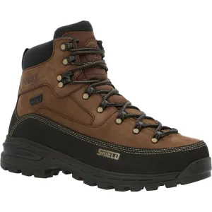
Rocky Men's MTN Stalker Pro 6" Waterproof Hiker Mountain Boot- Brown - RKS0527

$ 207.00

Save: $

Compatible for iPhone 11 Case, Aesthetic FrogSkin Camo Vintage Camouflage Phone Case Art Thin Soft Black TPU  Tempered Mirror Protective Case (for iPhone 11), Brown
Compatible for iPhone 11 Case, Aesthetic FrogSkin Camo Vintage Camouflage Phone Case Art Thin Soft Black TPU Tempered Mirror Protective Case (for iPhone 11), Brown

$ 12.00

Save: $

Jefferson WI topo map, 1:24000 Scale, 7.5 X 7.5 Minute, Historical, 1959, Updated 1972, 27.28 x 21.1 in

$ 45.00

$ 64.00

Save: $

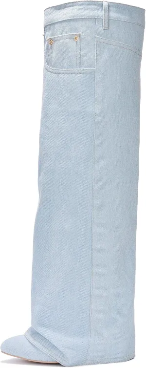
Cape Robbin Marget Over The Knee Pointy Toe Heeled Boots for Women

$ 50.00

Save: $

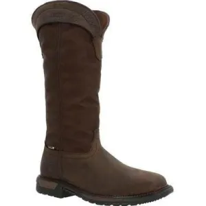
Rocky Men's Original Ride FLX 16" Composite Toe Waterproof Snake Boot- Brown- RKW0347

$ 196.65

Save: $

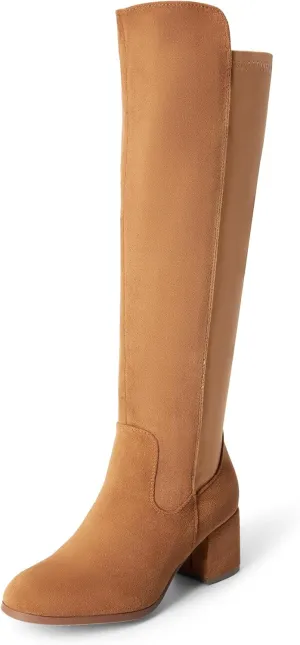
DREAM PAIRS Women's Knee High Stretchy Fashion Boots

$ 39.00

$ 56.00

Save: $

1/6 Scale Female Soldier Model Figure Doll Shoes Leather Short Boots 4P0N for 12" Movable Doll Action Figure,Doll Miniatures Accessories Doll

$ 48.00

$ 69.00

Save: $

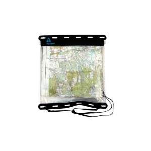
AQUAPAC Kaituna Map Case 808

$ 1185.00

Save: $

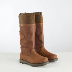
Columbus Boots
Columbus Boots

$ 302.99

Save: $

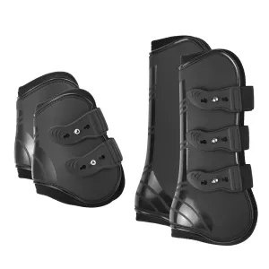
Adjustable Horse Leg Boots

$ 31.96

Save: $

Cart
Lightweight Waterproof Backpacks&Hiking Boots
Your cart is currently empty.