Lightweight Waterproof Backpacks&Hiking Boots
Lightweight Waterproof Backpacks&Hiking Boots Lightweight Waterproof Backpacks&Hiking Boots
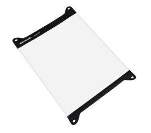
Home Trail Accessories Waterproof Map Case
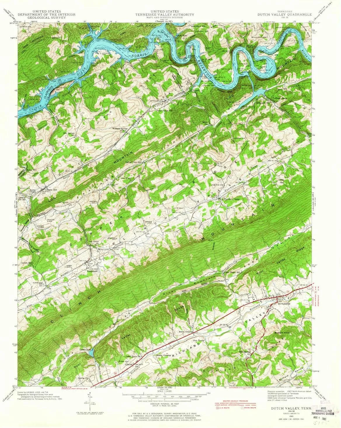
Dutch Valley TN topo map, 1:24000 Scale, 7.5 X 7.5 Minute, Historical, 1941, Updated 1965, 27.4 x 22 in

Dutch Valley TN topo map, 1:24000 Scale, 7.5 X 7.5 Minute, Historical, 1941, Updated 1965, 27.4 x 22 in

$ 49.00

$ 82.00

Save: $

Color:
  • Polypropylene
  • Regular Paper
  • Tyvek
Unavailable
Please select combo product attributes
The combo subtotal is $,SAVE$

Product Details

  • Printed on Tyvek® (synthetic)
  • USGS topographic map of Dutch Valley, TN, at 1:24000 scale. Lighter material. Waterproof. Tear-resistant. Foldable. Very durable. Perfect for backpacking and the outdoors.
  • Cities, towns, villages: Sunset,Elm Springs,Lulaville,Washburn,Clinch River (historical),Williams Springs,Clear Springs (historical),Oakman (historical),Puncheon Camp,Liberty Hill,Rutledge,Beeler Mill
  • Mountains: Diamond Peak,Buzzard Knob,Pine Mountain
  • Valleys: Cracker Neck Valley,Dutch Valley,Bates Hollow,Bullen Valley,Loop Hollow,Blowing Spring Hollow,Heyes Hollow,Dark Hollow,Wallop Hollow,Whistle Valley


USGS topographic map of Dutch Valley, Tennessee, dated 1941, updated 1965.

Includes geographic coordinates (latitude and longitude), lines of elevation, bodies of water, roads, and more. This topo quad is suitable for recreational, outdoor uses, office applications, or wall map framing.

Printed on-demand by YellowMaps on the print material of your choice.

Shipping rolled from Minneapolis, MN, United States.

Product Number: USGS-5334014
Map Size: 27.4 inches high x 22 inches wide
Map Scale: 1:24000
Map Type: POD USGS Topographic Map
Map Series: HTMC
Map Version: Historical
Cell ID: 13173
Scan ID: 147542
Imprint Year: 1965
Woodland Tint: Yes
Field Check Year: 1941
Datum: NAD27
Map Projection: Polyconic
Map published by Tennessee Valley Authority
Map Language: English
Scanner Resolution: 600 dpi
Map Cell Name: Dutch Valley
Grid size: 7.5 X 7.5 Minute
Date on map: 1941
Geographical region: Tennessee, United States
Northern map edge Latitude: 36.375°
Southern map edge Latitude: 36.25°
Western map edge Longitude: -83.625°
Eastern map edge Longitude: -83.5°

Surrounding map sheets (copy & paste the Product No. in the search bar):
North: USGS-5337926,USGS-5337922,USGS-5337920,USGS-5337924
East: USGS-5332422,USGS-5332432,USGS-5332430,USGS-5332434,USGS-5338622
South: USGS-5335326,USGS-5335324,USGS-5335322,USGS-5335332,USGS-5335328
West: USGS-5337024,USGS-5337026,USGS-5337018,USGS-5337020,USGS-5337022

You May Also Like

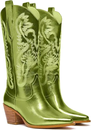
Women's Cowboy Boots Metallic Mid Calf Cowgirl Boots Wide Calf Western Embroidered Sparkly Paty Boots

$ 34.00

$ 48.00

Save: $

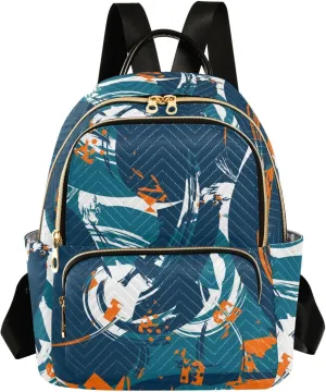
Mini Backpack Purse for Women Pretty Valentine Travel Backpack Fashion Backpack Lightweight Shoulder Bag Casual Daypack(Medium Pattren 4)

$ 24.00

$ 30.00

Save: $

Turkey topographic Map with flag print Cute Large Black Fanny Packs for Women Cross Body Waist Bag Nylon Fashionable Fanny Pack

$ 17.00

$ 22.00

Save: $

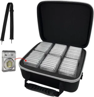
Graded Coin Storage Box Fits for 24-48 PCGS or NGC Graded Coin Slab,Coin Slab Holder with Handle, Individual Slots for Graded Coins, Graded Coin Case with Removable Thick Foam Slots(Case Only)

$ 26.00

Save: $

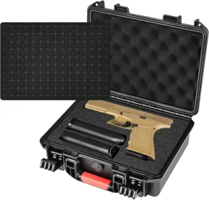
Pistol Gun Case for Multi Handguns - Hold Multiple Pistols & Magazines, Pre-cut Waterproof Hard Shell Gun Box, TSA Approved Pistol Case for SIG Sauer, Smith & Wesson, for Colt, for Revolver, for Glock

$ 16.00

$ 20.00

Save: $

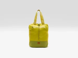
Terravia Tote Pack  (251 / W / GREEN)
Terravia Tote Pack (251 / W / GREEN)

$ 90.00

Save: $

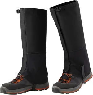
Leg Gaiters,Waterproof Hiking Leggings Thick Warm Shoe Covers Adjustable Snow Boot Covers for Outdoor Walking Climbing Hunting Skiing

$ 21.00

$ 26.00

Save: $

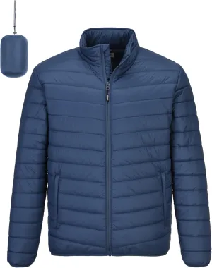
Outdoor Ventures Men's Lightweight Packable Puffer Winter Jacket Insulated Puffy Coat for Snow Ski Hiking Travel

$ 39.00

$ 56.00

Save: $

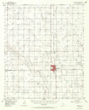
Abernathy TX topo map, 1:62500 Scale, 15 X 15 Minute, Historical, 1957, Updated 1971, 20.6 x 16.6 in

$ 45.00

$ 64.00

Save: $

TPU Guide Map Case
TPU Guide Map Case

$ 44.99

Save: $

Cart
Lightweight Waterproof Backpacks&Hiking Boots
Your cart is currently empty.