Lightweight Waterproof Backpacks&Hiking Boots
Lightweight Waterproof Backpacks&Hiking Boots Lightweight Waterproof Backpacks&Hiking Boots
Home Trail Accessories Durable Map Case
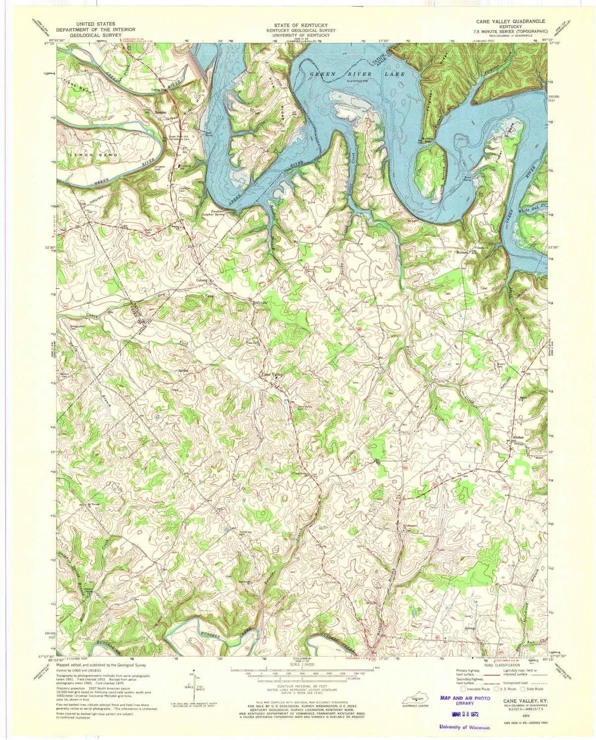
Cane Valley KY topo map, 1:24000 Scale, 7.5 X 7.5 Minute, Historical, 1970, Updated 1972, 27.5 x 23.1 in

Cane Valley KY topo map, 1:24000 Scale, 7.5 X 7.5 Minute, Historical, 1970, Updated 1972, 27.5 x 23.1 in

$ 48.00

$ 69.00

Save: $

Color:
  • Polypropylene
  • Regular Paper
  • Tyvek
Unavailable
Please select combo product attributes
The combo subtotal is $,SAVE$

Product Details

  • Printed on Tyvek® (synthetic)
  • USGS topographic map of Cane Valley, KY, at 1:24000 scale. Lighter material. Waterproof. Tear-resistant. Foldable. Very durable. Perfect for backpacking and the outdoors.
  • Cities, towns, villages: Holmes,Absher,Cane Valley,Mount Pleasant (historical),Coburg,Kellyville,Cyclone (historical),Romine
  • Mountains: Green River Hill
  • Valleys: Ferguson Hollow,Ferguson Hollow


USGS topographic map of Cane Valley, Kentucky, dated 1970, updated 1972.

Includes geographic coordinates (latitude and longitude), lines of elevation, bodies of water, roads, and more. This topo quad is suitable for recreational, outdoor uses, office applications, or wall map framing.

Printed on-demand by YellowMaps on the print material of your choice.

Shipping rolled from Minneapolis, MN, United States.

Product Number: USGS-5290068
Map Size: 27.5 inches high x 23.1 inches wide
Map Scale: 1:24000
Map Type: POD USGS Topographic Map
Map Series: HTMC
Map Version: Historical
Cell ID: 7044
Scan ID: 708318
Imprint Year: 1972
Woodland Tint: Yes
Aerial Photo Year: 1969
Field Check Year: 1970
Datum: NAD27
Map Projection: Polyconic
Map published by United States Geological Survey
Map Language: English
Scanner Resolution: 508 dpi
Map Cell Name: Cane Valley
Grid size: 7.5 X 7.5 Minute
Date on map: 1970
Geographical region: Kentucky, United States
Northern map edge Latitude: 37.25°
Southern map edge Latitude: 37.125°
Western map edge Longitude: -85.375°
Eastern map edge Longitude: -85.25°

Surrounding map sheets (copy & paste the Product No. in the search bar):
North: USGS-5290058,USGS-5290050,USGS-5290056,USGS-5290052,USGS-5290054
East: USGS-5291816,USGS-5291818,USGS-5291820,USGS-5291822
South: USGS-5290330,USGS-5290326,USGS-5290328
West: USGS-5291216,USGS-5291218,USGS-5291212,USGS-5291214

You May Also Like

YDN Women Block Low Heel Suede Cowgirl Boots Pull on Ankle Bootie with Buckle

$ 55.00

$ 100.00

Save: $

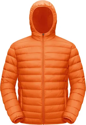
TACVASEN Men's Hooded Puffer Water-Repellent Down Alternative Jacket Insulated Lightweight Windbreaker Quilted Coat

$ 25.00

$ 35.00

Save: $

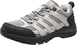
NORTIV 8 Women's Hiking Shoes Lightweight Breathable Mesh Walking Sneakers Outdoor Work Shoes

$ 29.00

$ 41.00

Save: $

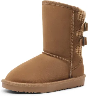
DREAM PAIRS Girls Boys Winter Boots Faux Fur Lined Mid Calf Kids Snow Tall Shoes FuzzyChic Kid's Buckle for Little Kid/Big Kid

$ 27.00

$ 39.00

Save: $

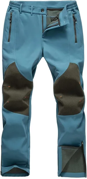
Gash Hao Mens Snow Ski Waterproof Softshell Snowboard Pants Outdoor Hiking Fleece Lined Zipper Bottom Leg

$ 31.00

$ 44.00

Save: $

Cologne Crumpled City Map by Palomar (2012)

$ 20.00

Save: $

überleben Fire Starter for Survival - Waterproof Flint and Steel - Camping Fire Starter

$ 29.99

Save: $

Multifunctional Waterproof Backpack for Students

$ 2399.00

Save: $

Men's Vintage Boots Square Toe Chunky Block Heel Mid Calf Country Boots Men Work Boots Western Hunting boots

$ 49.00

$ 70.00

Save: $

Bogong Alpine National Park Area (VIC) Topographic Wall Map by Spatial Vision

$ 69.95

Save: $

Cart
Lightweight Waterproof Backpacks&Hiking Boots
Your cart is currently empty.